Political map of the World
Political map used to show the geopolitical structure of the world, travel planning, education, and research.
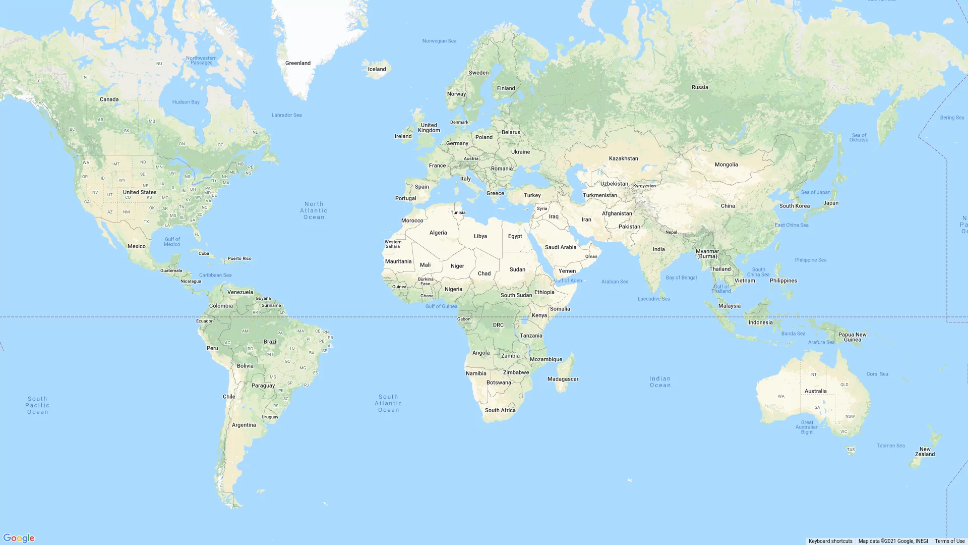
A political map of the world is a map showing the borders and administrative divisions between countries and regions of the world. It is used to show the geopolitical structure of the world, travel planning, education, and research.
A political map of the world usually shows different countries and their borders, as well as their capitals and other important cities. It can show various administrative divisions, such as provinces, states, regions, and counties.
A political map of the world can show how different countries are distributed across the earth’s surface and how they interact with each other politically and economically. It can also show the differences in political systems and cultures between different countries.
Political maps can be useful for people involved in political science, international relations, and economics. They can also be useful for travelers who plan their trips to different countries, as well as for students and teachers who study geography and history.