Physical map of the world
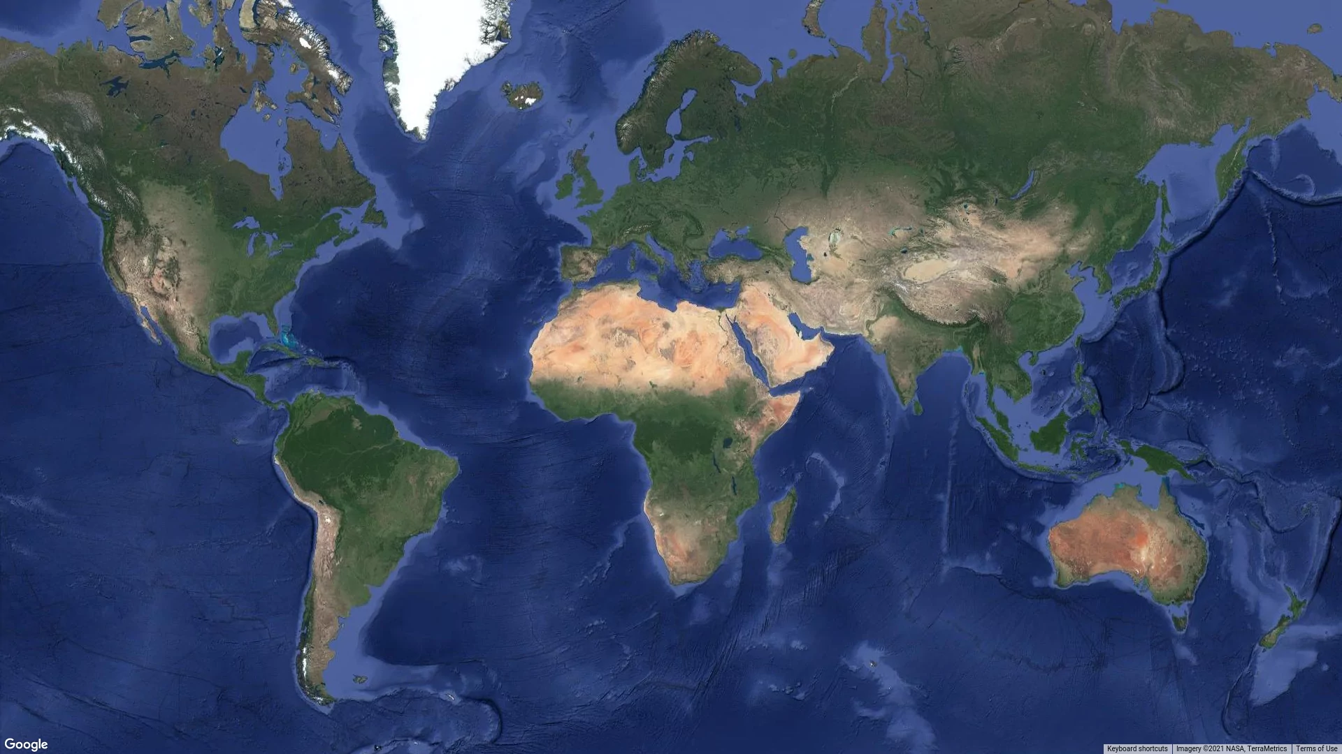
A physical map of the world is a map that shows geographic features of the Earth’s surface, such as mountains, plains, rivers, lakes, oceans, seas, and other natural formations.
A physical map of the world is a map that shows geographic features of the Earth’s surface, such as mountains, plains, rivers, lakes, oceans, seas, and other natural formations. It shows the physical geography of the world and is used for exploration, travel planning, teaching, and scientific research.
A physical map of the world usually shows various physical features of the Earth’s surface, such as mountain ranges, valleys, plains, deserts, forests, rivers, lakes, and other bodies of water. It may also include information about geological formations, such as volcanoes, earthquakes, and plateaus.
A physical map of the world can show geographic features such as the Himalayan mountain range in Asia, the Andes Plateau in South America, the Great Water Range in North America, the Sahara in Africa, and the Alps in Europe. It can also depict ocean depths, showing continental shelves, mid-ocean ridges, and trenches.
Physical maps can be useful for people who do geographic research, such as geologists, hydrologists, and biologists. They can also be useful for travelers who plan their trips to remote or exotic locations, as well as for students and teachers who study geography.