Geographic Map world
World map on interactive map online
Map world
Map Yandex
Map Google
Map Google Satellite
Physical map of the world
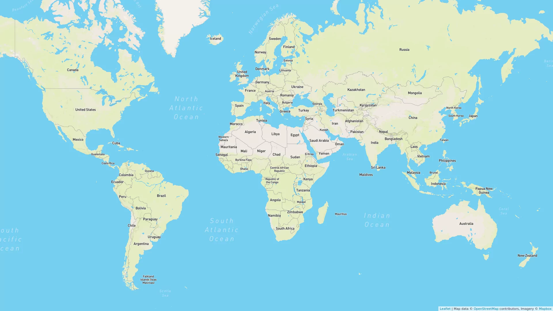
Political map of the World
Interactive world map
Satellite map of the world
World Map
How to Use an Interactive Online World Map
There are many online world maps, each with its own features and functions, but the general principles for using such maps are as follows:
- Open the online world map in your web browser. The worldinfotravel website offers maps from Google Maps, Bing Maps, and OpenStreetMap.
- Use the zoom in and zoom out buttons to enlarge or reduce the map of the world. Typically, the zoom control buttons are located in the upper left corner or on the side panel.
- Use your mouse to drag the world map to move around in the desired direction. You can also use the arrow keys on your keyboard to navigate the map.
- Some online world maps allow you to add markers to remember places of interest. You can also add lines and polygons to mark routes or areas.
- Use the search function above the map to find a specific country, city, or street on the world map. Usually, the search box is located at the top of the screen.
- Depending on the chosen online world map, you can customize the display of specific elements, such as labels, roads, or transportation. This can be done through the map settings or via the side panel menu.
Overall, online world maps are very convenient and easy to use, making them valuable tools for travelers, students, researchers, and anyone curious about the world.
The World Map on worldinfotravel.com
